How a vertically integrated approach is reducing delays and administrative load across regional WA.
In regional WA, one truth remains consistent across mining, resources and infrastructure projects: if your survey support is fragmented or slow to mobilise, your whole schedule is affected. Surveying is often the first trade on site and the last to leave, so gaps in delivery, inconsistent data or unclear communication tend to ripple through every stage of a project.
Yet many operations still rely on multiple surveying vendors for different components of work. This often leads to duplicated onboarding processes, varied data standards and slower delivery- all of which carry cost and risk for operators working to tight shutdown windows or production targets.
The operational cost of fragmentation
Onboarding remains one of the biggest administrative burdens for mining and resource companies. Each new supplier requires inductions, safety checks, compliance documents, procurement approvals and ongoing oversight. When this is repeated across several survey providers, the effort and cost add up quickly.
Fragmentation also introduces inconsistency. Different suppliers deliver information in different formats, at different levels of detail and on different timelines. Integrating those outputs into a single workflow- particularly when working in remote environments- can slow decision-making and create uncertainty on site.
A vertically integrated partner for regional work
RM Surveys delivers a single, end-to-end surveying and spatial service model designed to remove these friction points. All major capabilities- traditional survey, SMP, drone capture, 3D scanning, underground utility mapping, dimensional control, monitoring and asset lifecycle support- are delivered by one coordinated team.
Our regional surveyors are backed by Perth-based management, HSQE and drafting and modelling resources, ensuring consistency in reporting, communication and technical quality.
For clients, this means one point of contact, one onboarding process and one clearly accountable partner.
Whether supporting a short-term shutdown or embedding surveyors within a long-term program, this integrated approach reduces administrative load and provides continuity from planning through to execution.
Technology that supports better project continuity
Technology plays a critical role in keeping regional work moving. Drone surveys provide fast, safe capture of volumes, inspections and site condition reporting, reducing time on the ground and giving teams immediate visibility of changes across a project.
3D scanning records installed assets with a high level of accuracy, supporting design checks, compliance, maintenance planning and future works- particularly useful when teams cannot always be on site.
Underground utility mapping helps confirm the location of services before excavation or shutdown activities, reducing the likelihood of strikes or unplanned delays.
Dimensional Control
When millimetres aren’t enough, our expert dimensional control surveyors deliver the precision and confidence required for the most demanding projects.
Monitoring
Our ability to deliver real-time monitoring through aligned specialist partners enhances the end-to-end asset lifecycle solutions RM Surveys provides.
When these tools sit inside one coordinated workflow, the information is consistent, easier to interpret and available sooner, allowing project teams to make decisions without waiting on multiple providers.
A single surveying partner for the entire asset lifecycle
Mining operators are increasingly looking for suppliers who can simplify delivery and reduce administrative overhead. A vertically integrated surveying partner achieves this by providing consistent capability, faster mobilisation and clear communication across the asset lifecycle.
To discuss regional surveying support, contact:
Dylan Lema | Manager- Regional Survey Services
dylan.lema@rmsurveys.com.au | 043 696 0751
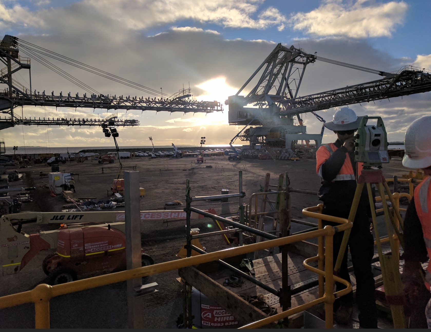
Aerial captures at Coral Bay ensured timely project delivery
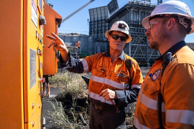
Full Asset Life Cycle survey supporting valued Regional clients
RM Surveys is a vertically integrated surveying partner, delivering complete capability across regional WA since 1994.
Our regional surveyors are site-ready, fully supported and integrate seamlessly with your team.
Perth | Port Hedland | Kalgoorlie | Broome | Northam | Sydney
Full Asset Life Cycle survey supporting valued Regional clients
aerial captures at COral Bay
ensured timely project delivery
RM Surveys is a vertically integrated surveying partner, delivering complete capability across regional WA since 1994.
Dylan Lema | Manager- Regional Surveying
dylan.lema@rmsurveys.com.au | 043 696 0751