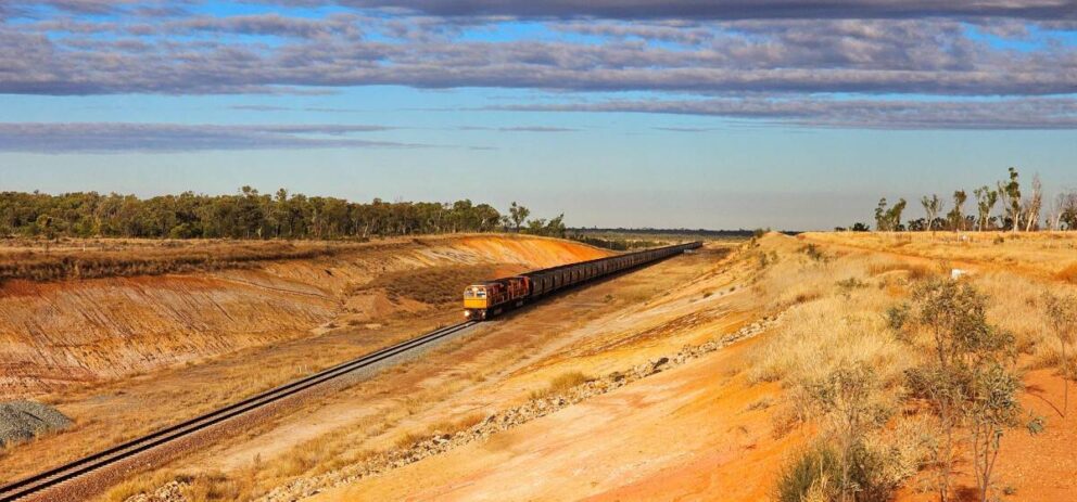
In an industry where efficiency and risk management are critical, digitalisation and automation are reshaping how field geology is carried out.
Cloud-based collaborative platforms and 3-D data set visualisation tools are fundamentally changing how resource geologists and exploration crews make decisions and operate on site.
Veracio believes that better data leads to better decisions, and supports safer, more efficient and more sustainable mining operations.
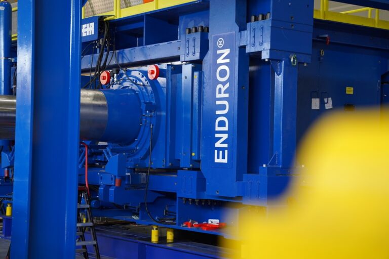
By delivering advanced technologies that enhance the speed and reliability of core scanning and downhole data, Veracio provides high-quality, quantitative datasets to support exploration and operations.
Since 2009, Veracio has been pioneering core scanning innovations and continues to lead the industry through advanced technologies, deep scientific expertise and global support.
“We’re not taking any short cuts when it comes to providing the best possible sensor data to our clients and the industry,” Veracio chief executive Annelie Lundström said.
“We’re not just providing data, we’re making sure that it is presented in a meaningful way through our software solutions,” she said.
Driller-captured data
Veracio offers technologies that empower drillers to deliver accurate, real-time data directly from the rig, reducing errors, accelerating decision-making and increasing site productivity.
High quality data captured at the source strengthens geological models, supports safety and compliance, optimises resource allocation and lowers operational costs.
Multiple data streams in a single scan
Veracio’s scanning technology provides high-resolution mineralogical, geochemical, and structural data, including continuous geochemical and mineralogical datasets captured directly from drill core trays, reducing manual logging effort while providing additional quantitative data to support interpretation during logging.
AI-driven structural logging and predictive models based on geochemical footprints offer a robust foundation for advanced orebody characterisation. These technologies are increasingly used in mining to enhance interpretation and extract greater value from geological data.
Smarter geological data insights
Veracio’s geological software and cloud platform provide robust solutions for logging, analysis and data sharing, giving users reliable access to critical geological information whenever and wherever it is needed.
Digitally transforming geology with Scan by Veracio
For users, Scan by Veracio complements manual logging by introducing automation, cloud integration, alerts and internal reporting, eliminating the need for time-consuming and error-prone manual tasks.
“It’s important that clients have access to results during the logging process, not weeks after laboratory assays, so they can act on the data as it’s being generated,” Ms Lundström said.
We have purposely built our system so that the data volumes are just enough to provide the clients with useful information but also enable rapid turnaround times.
Tried and tested in-field, Scan by Veracio has delivered marked improvements in assay speed, efficiency and data governance for miners in world-renowned mining districts.
Case studies
During exploration of the McIlvenna Bay and Tesla Cu-Zn-Au-Ag deposits in Saskatchewan, Foran Mining deployed Scan by VERACIO to generate continuous geochemical datasets from drill core.
The objective was to better understand how the two deposits are connected. While traditional logging and laboratory assays provided a solid foundation, higher-resolution data was needed to confidently correlate units across multiple drill holes.
Continuous XRF scanning produced multi-element geochemical profiles along the full length of the core, creating a consistent, high-density dataset. When combined with geological logging, this allowed geochemical signatures to be linked to specific rock units.
The consistency of the data also enabled more repeatable interpretation. Large portions of the core could be grouped into defined units based on their geochemical signature, improving overall confidence across the dataset.
These datasets were then used to correlate units between drill holes and build a clearer picture of the geology. This helped explain previously observed inconsistencies and improved understanding of how the system is structured, including folding and repetition of units.
Importantly, the data made it possible to identify equivalent units between the McIlvenna Bay and Tesla deposits, even where the rocks look similar. This provides a more reliable basis for targeting and understanding mineralisation across the system.
As a result, integrating continuous geochemical data with geological logging improved understanding of the relationship between the two deposits and supported identification of the Bridge Zone linking them.