


CSIRO launches advanced exploration software
This week CSIRO has released a new online tool, LandScape+, to accelerate mineral discovery across Australia.
The tool is designed to help geologists interpret their geochemical data and plan follow-up exploration programs to target new resources across a range of commodities including gold, lithium and copper.
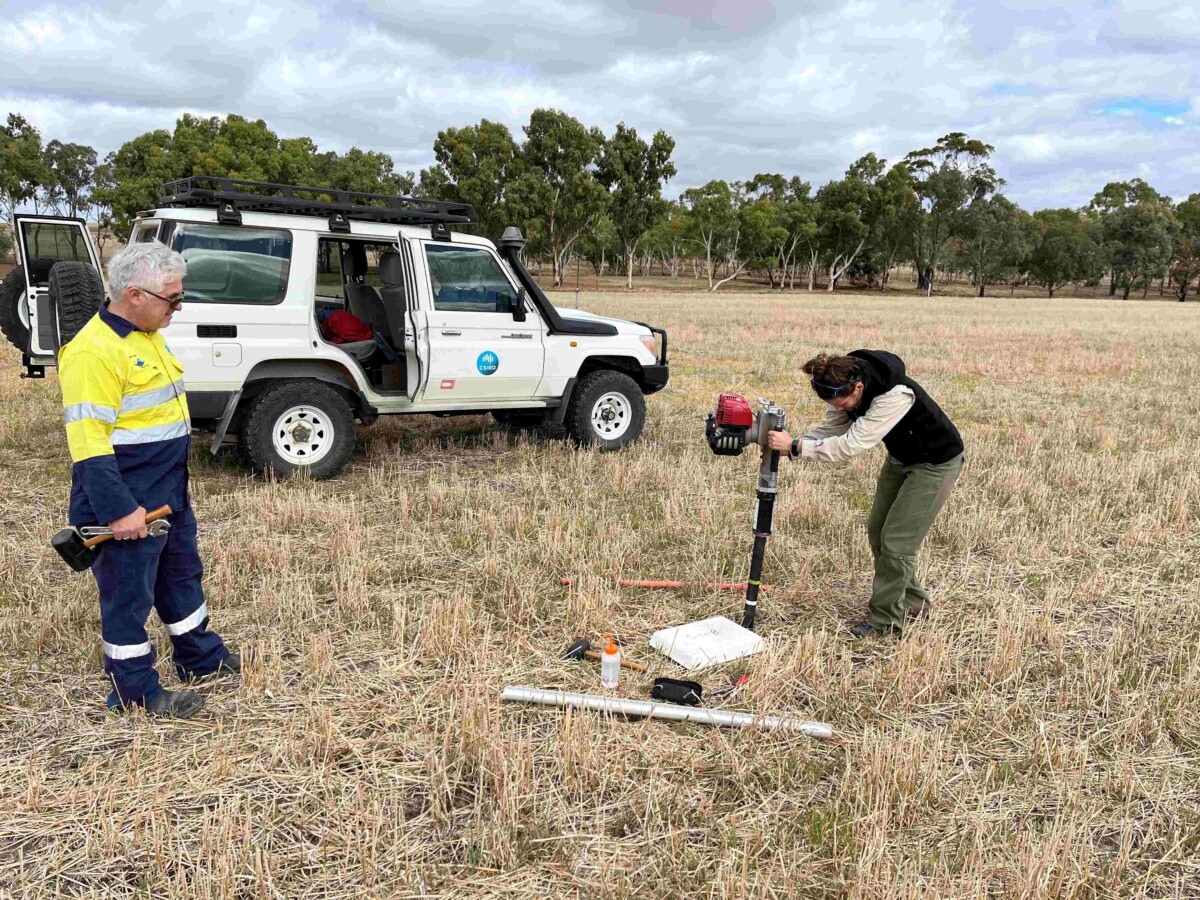
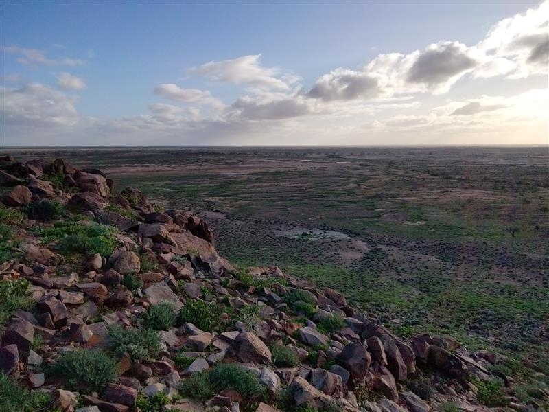
Mineral exploration in Australia faces many unique challenges due to site remoteness and access difficulty. Much of the land is also covered by a thick layer of loose soil, sand and broken-down rock — making it difficult to detect signs of valuable mineral deposits.
LandScape+ uses remotely sensed data to create landform maps informed by machine learning at a 30m resolution for mineral exploration.
This reduces the need for extensive on-the-ground observations and integrates surface geochemistry for better, faster and easier interpretation of soil survey results.
CSIRO senior research scientist Dr Anicia Henne says the web-based tool allows users to interpret their geochemical data in the context of the landscape, unlocking new insights and opportunities in underexplored and remote regions.
“Exploring through the regolith is notoriously difficult and interpreting geochemical results is time consuming and often requires specialist knowledge,” she said.
“We developed Landscape+ to simplify this process.”
By highlighting unusual soil samples across diverse landscapes, the software tool enables mineral explorers to refine their search with context.
“This gives exploration geologists the opportunity to rapidly interpret soil sampling results in context and create maps, especially in underexplored greenfield sites,” Dr Henne said.
LandScape+ can generate maps at various scales, from 25 km² to 2,000 km², allowing explorers to assess their tenements efficiently, saving early-stage costs while accelerating evaluation.
The software has a user-friendly interface that simplifies complex data interpretation and high-resolution mapping covering expansive areas in mere hours.
Landscape+ is the latest in a suite of digital data analytical tools and data products in the eXploration Toolkit (XT) developed by CSIRO to accelerate mineral discovery and exploration.