Lidar surveying is underway at the Central Queensland Hydrogen (CQ-H2) Project as part of front-end studies paving the way for the State’s largest renewable hydrogen project.
The CQ-H2 Project includes the development of a large-scale renewable hydrogen production facility at Aldoga, a hydrogen transport facility (pipeline) and a liquefaction and shipping facility at the Port of Gladstone.
The project will also supply renewable hydrogen to an ammonia production facility.
A statement on Stanwell’s website says “lidar data points and aerial photographs were captured by a plane flying over the proposed sites of the hydrogen production facility, liquefaction and shipping facility and hydrogen pipeline route”.
“A buffer of roughly 400m around the proposed sites for the facilities and along the entire pipeline route was also captured, to ensure the entire area was surveyed,” the statement continued.
“In one instance where the accuracy of the lidar data wasn’t sufficient to meet the requirements of the Department of Transport and Main Roads, an additional ground survey was completed to supplement the lidar data.
“All lidar data, ground survey data and aerial photography for the CQ-H2 Project will now be provided to registered civil engineers.
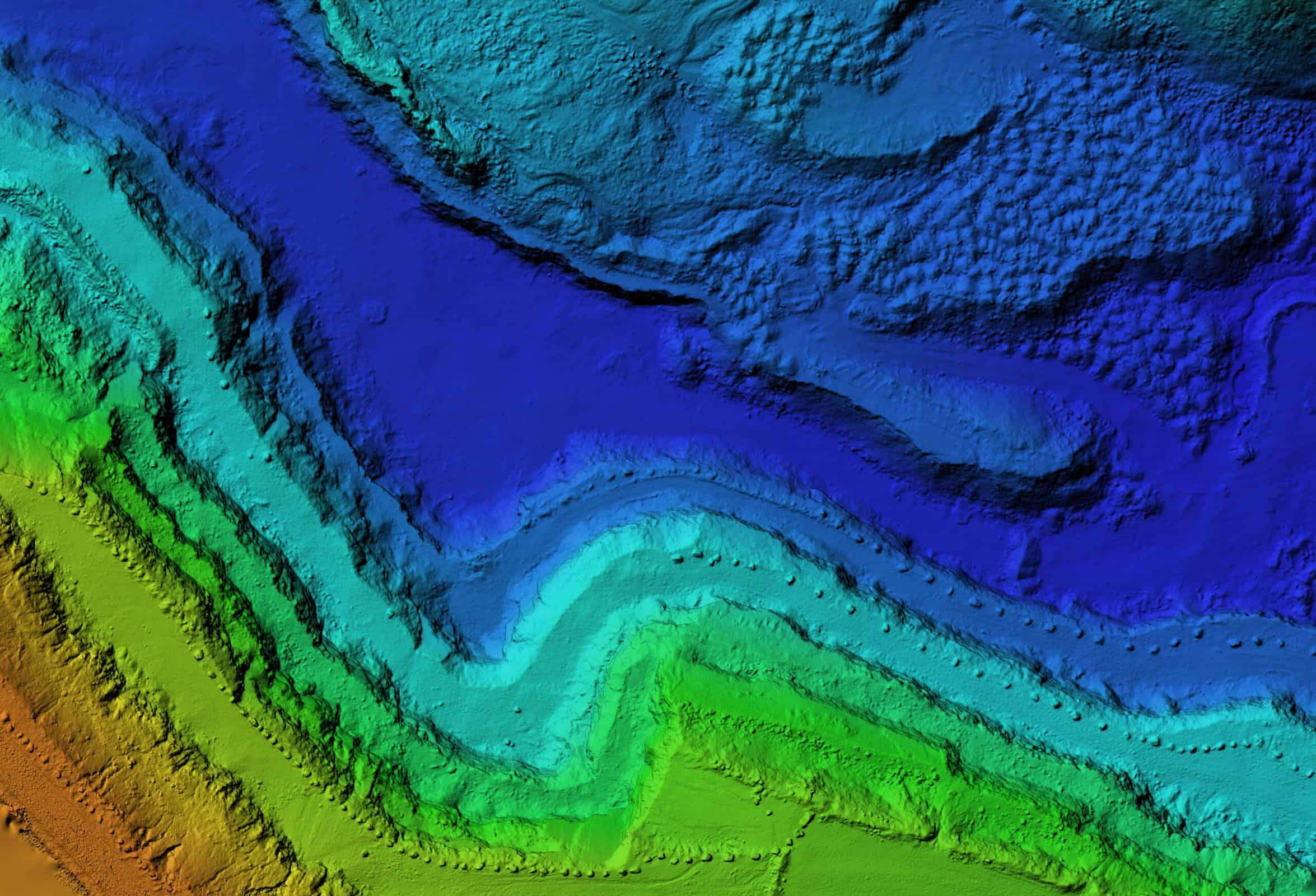
“These engineers will utilise powerful 12d modelling software to create triangulated irregular networks (TIN), such as digital terrain models (DTMs) and digital elevation models (DEMs), that plot the natural and man-made geography of the proposed sites in precise detail.
“These models will be used as the base for the design of the facilities that will make up the CQ-H2 Project.
“They can also be used to identify potential obstacles to the project before building work starts, helping to avoid unforeseen variations and cost blowouts later on.
“For example, models generated using lidar data can be used to identify road networks, power lines and creek crossings that sit on the proposed pipeline route.
“Ideally, these obstacles will be mitigated by simply going around them. In cases where that’s not possible, it may be necessary to factor plans to tunnel or directionally drill under these obstacles into the cost estimate for the pipeline.”
Commercial operations are planned to commence from 2029, with the CQ-H2 project aiming to deliver renewable hydrogen to Japan and Singapore, as well as supplying industrial customers in Central Queensland.
Over its 30-year life, the CQ-H2 project is expected to deliver $17.2b in hydrogen exports, add $12.4b to Queensland’s Gross State Product and support more than 8,900 new jobs.
A feasibility study for the project was successfully completed in 2022, and a Front-End Engineering Design (FEED) study is now underway to enable a Final Investment Decision (FID).
The FEED study represents the largest investment in an Australian renewable hydrogen project of its kind to date, with a commitment of $117m from government and consortium partners.
This includes $15m from the Queensland Renewable Energy and Hydrogen Jobs Fund and $20m from the Australian Renewable Energy Agency.
The CQ-H2 project is being developed as a partnership between the Queensland Government-owned Stanwell Corporation, Japan’s Iwatani Corporation, Kansai Electric Power Company and Marubeni, and Singapore’s Keppel Infrastructure.