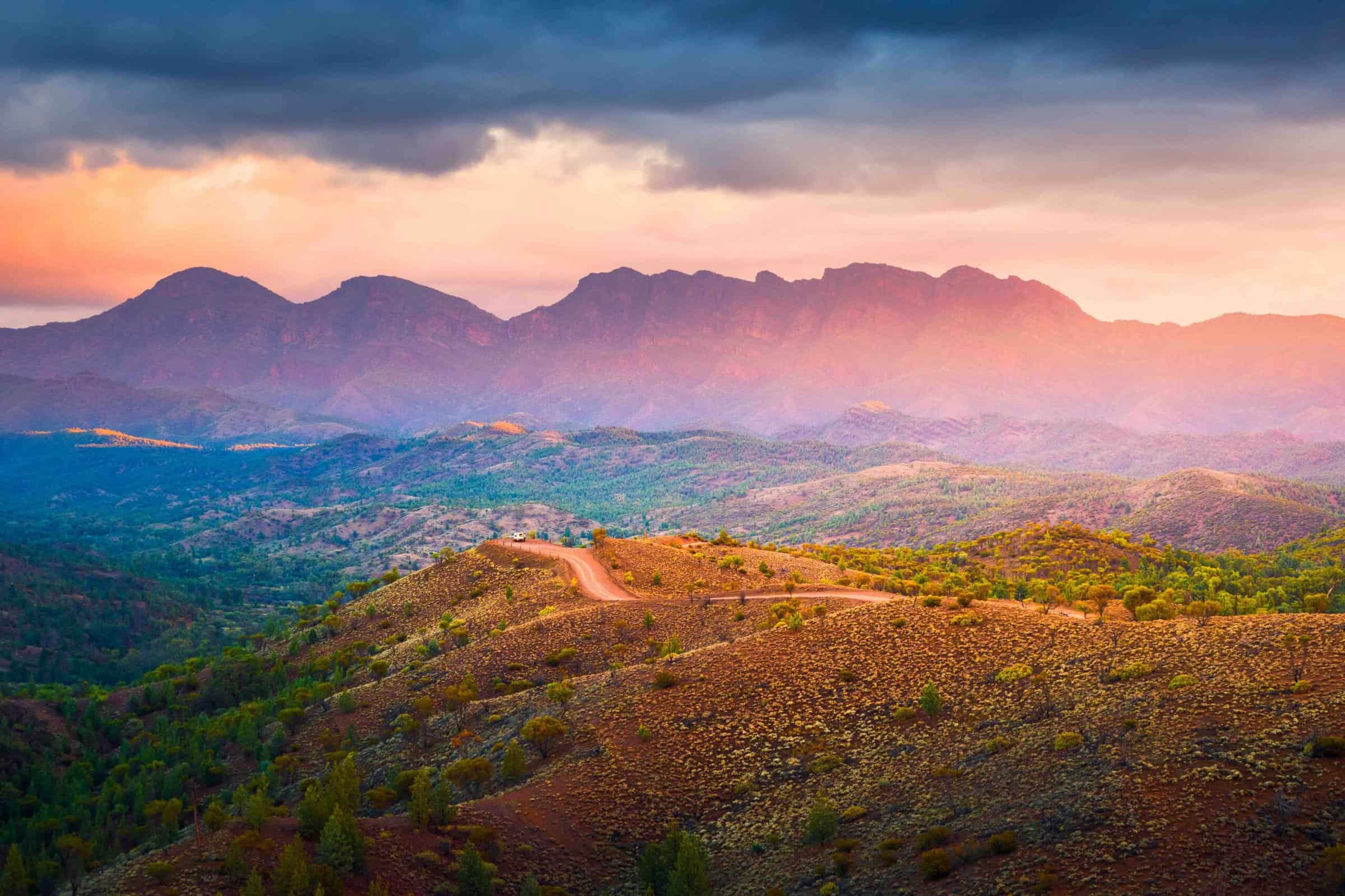
Adavale Resources Limited’s (ASX: ADD) initial interpretation of its South Australian uranium projects at Lake Surprise and Mundowdna using high-resolution Sentinel 2 satellite imagery has been completed, with new palaeochannel systems on the northwestern edge of the Flinders Ranges highlighted for further investigations.
Over the coming weeks, high priority targets for uranium exploration will be generated by combining three lines of evidence – Sentinel 2 satellite imagery, GeoScience Australia gravity data and electromagnetic (EM) data from the Frome survey – to identify presence of buried channels.
Adavale executive director David Riekie commented on this.
“The Sentinel 2 satellite imagery has provided the company with a rich set of multispectral data that has enabled our technical team to quickly identify areas of greatest uranium potential within our large South Australian licence holding,” he said.
“The interpreted palaeochannel systems will be the foundations for Adavale to overlay publicly available EM datasets to identify potentially buried channel systems within our licences and facilitate our ongoing efforts to systematically explore for uranium in South Australia.”
The compilation of this data and the mapping of the palaeochannels are Adavale’s key first steps in advancing the company’s uranium projects in South Australia.
Other steps that Adavale is preparing for advanced exploration include:
- identification and ranking of priority drill targets based on current survey data;
- assessment of infill gravity and EM survey areas;
- heritage clearances in consultation with Traditional Custodians;
- finalisation of exploration and drilling programs; and
- notification to the South Australian Department for Energy and Mining of intended work programs and approvals.
European Space Agency Sentinel 2 satellite imagery was obtained from the Corpernicus hub, with the high-resolution data providing several spectral bands used for delineating subtle changes in surface features.
By using the “decorrelation stretching” technique, the surface expression of the palaeochannels in the outwash fans shedding from the Flingers Ranges have been mapped.